

About 12 years ago, I recall a conversation with newly relocated superintendent Kevin Breen about making a drone setup to fly the golf course, measure moisture and then automatically make adjustments to the irrigation system.
 The idea was so far-fetched to me at the time that I thought it would snow in Haiti before that ever happened. Fast forward to today and you can’t go more than a few pages in a trade magazine without seeing an ad for remote-sensing technology.
Remote-sensing technology utilizes sensors, satellites and drones to measure parameters such as plant health and density, moisture and nutrients. In the turf world, this technology is relatively new with the first in-ground soil moisture sensors being introduced in the early 2000s, though the basis for the technology goes back to the early 1970s with the introduction of the LandSat1 satellite.
The concept of LandSat1 was to monitor global natural resources and with its success, the data retrieved now from LandSat 9 and 10 plays a critical role in global food security as well as national security. If you are into history, you’ll find the story of the Great Grain Robbery to be quite interesting.
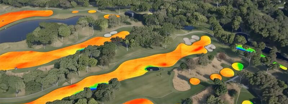
AI has advanced the capabilities of what the data from remote-sensing technology can give us. One of the capabilities that it gives us is the ability to make prescription spray maps based on parameters you get back from your images. Granted, if you’re skeptical of remote-sensing technology, you’re probably not using GPS sprayers, but for those who are, this is very exciting.
Today, you could set parameters to make a prescription spray map of areas in your fairways that only show greater than 50 percent dollar spot which could save thousands of dollars for some clubs. Or, let’s say you’re on the West Coast and you always have dry spots on the east side of your irrigation heads. You could make a prescription map that targets those dry areas only using a different wetting agent than what you would typically use.
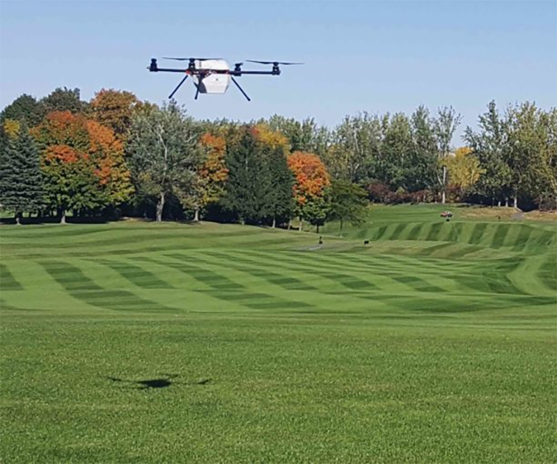
Another capability, and the one I am most excited about, is the ability to take localized moisture or ET data and convert that into actionable data for your irrigation system to adjust automatically. This concept gives a lot of superintendents pause, and I hear frequently that remote-sensing technology “tells me what I already know. I’m a boots-on-the-ground superintendent”. Shoot, I’ve said it myself numerous times.
So why would you trust a computer to make adjustments that you’ve been making for years? I believe there are numerous reasons, but I’ll rattle off just a few.
First off, more than 50 percent of superintendents use moisture meters on greens and look at the leap in greens quality and consistency since that introduction. Why wouldn’t you want that same data for your entire property?
Second, in a job market that’s seeing more and more young people turn to other fields, we could use all the help we can get. It presents a paradox though; Does the use of tech draw young people to the industry, or does it prevent superintendents from looking for new assistants?
Lastly, you the superintendent are still at the head of the controls, and while these data “engines” are making calculations, they are ultimately just recommendations. Your firsthand knowledge of your property can’t be replaced by a computer. Our jobs are probably one of the most protected fields from AI, but we can certainly benefit from it.
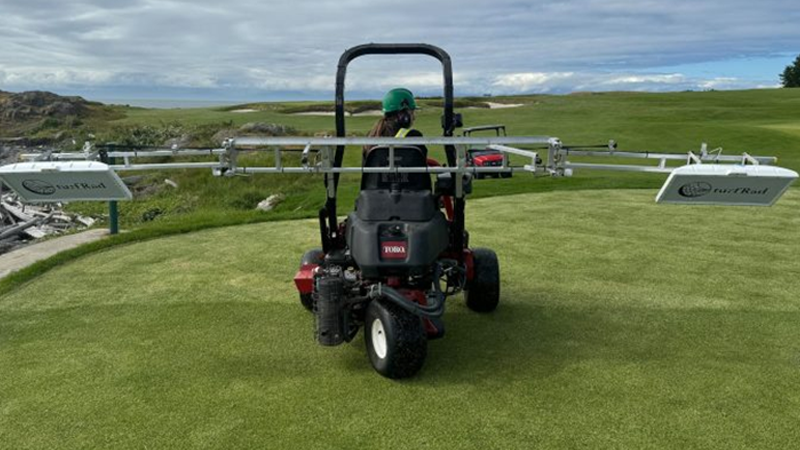
If you look at the list of the most current courses trying this technology, it’s a who’s who of the top superintendents and courses across the country. But this technology isn’t just for the big players. I believe this technology to have more value to the courses with limited budgets and staff.
No matter who uses it, if the golf industry’s goal is sustainability, this technology will help us get a little closer.

